Find All Permanently Closed Places
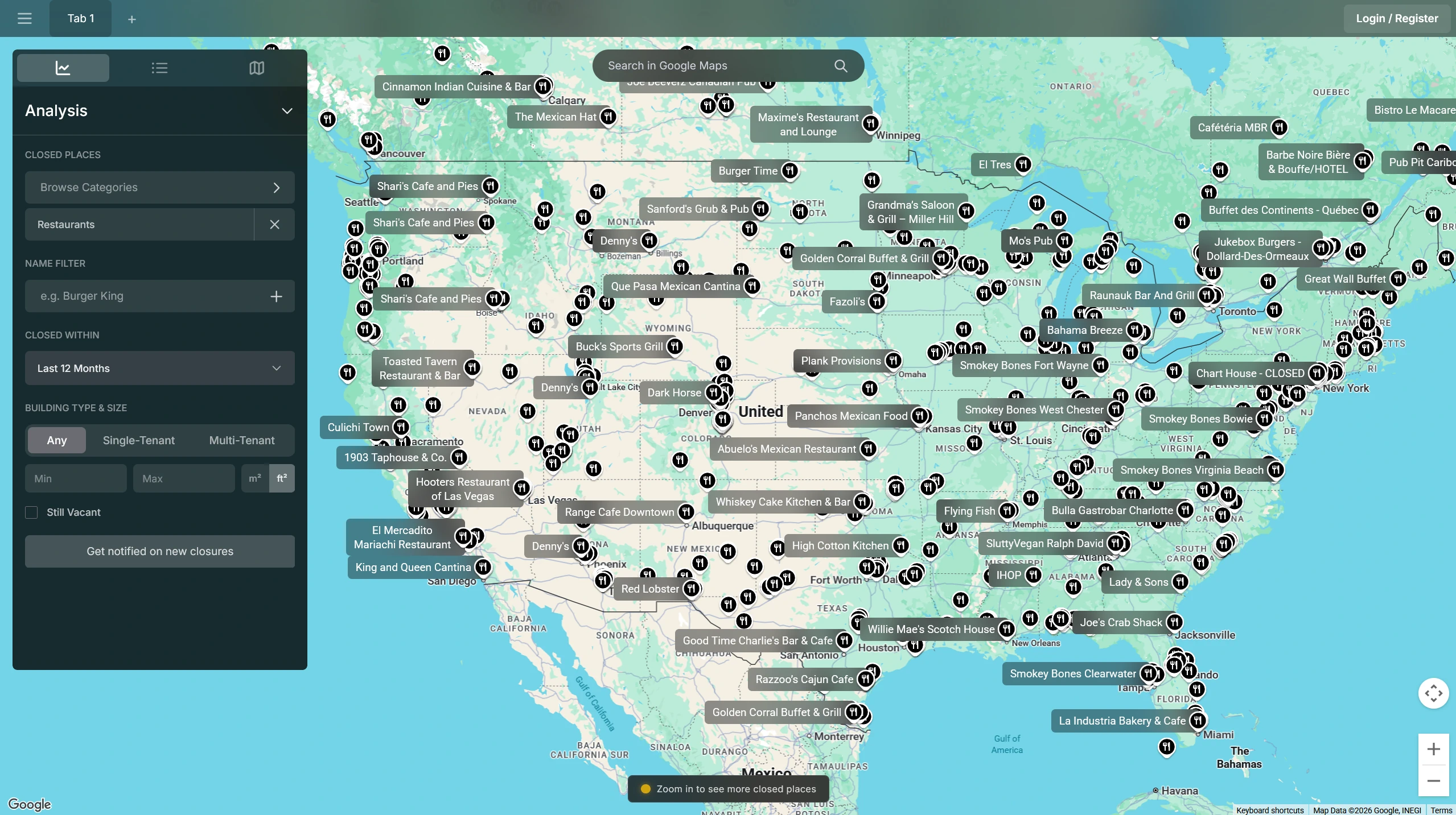
ClosedPlaces maps every permanently closed business from Google Maps. Filter by category, recency, or location to see what has closed in any market across the US & many more countries.
Who uses it
Closure data, before it reaches listing platforms
A permanently closed marker on a map typically appears weeks or months before a for-lease sign on the building. The map makes that gap visible.
Real Estate Investors
Closure data surfaces vacant commercial properties before they reach brokers or listing platforms. Investors use it to identify recently vacated spaces, assess how long a site has been dark, and make contact while the landlord is still without a tenant.
Expansion Managers
Chains and franchise operators use closure data to track competitor exits, identify vacated second-generation spaces in target markets, and assess corridor churn rates before committing to a new site.
Researchers
Closure patterns reveal things that active business data cannot. Researchers use the map to study neighborhood economic decline, retail sector contraction, and the geographic distribution of failures across categories and time periods.
Each location includes
More than a pin on the map
Each closed business comes with the details that make the marker actionable: contact information, closure timing, historical performance, and category data.
Contact Information
Original phone numbers and websites are preserved so you can reach former owners, landlords, or management directly.
Closure Timing
The closure date tells you how long a space has been vacant. That gap is a reasonable proxy for how motivated the landlord is likely to be.
Historical Ratings and Category
Review counts and ratings from when the business was operating indicate whether the location drew foot traffic, which helps separate location failures from concept failures.

From the blog
Latest articles
See what has closed in your market
Retail vacancies take time to reach listing platforms. Our map shows closures in real-time.
Open Interactive Map